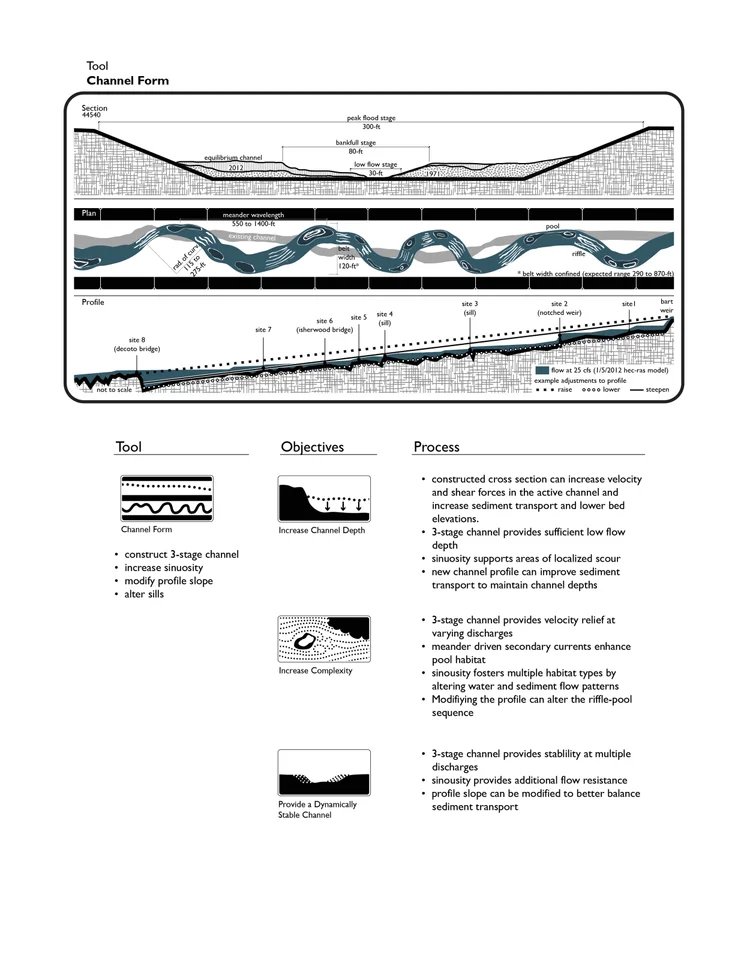
Interpretation and Graphics
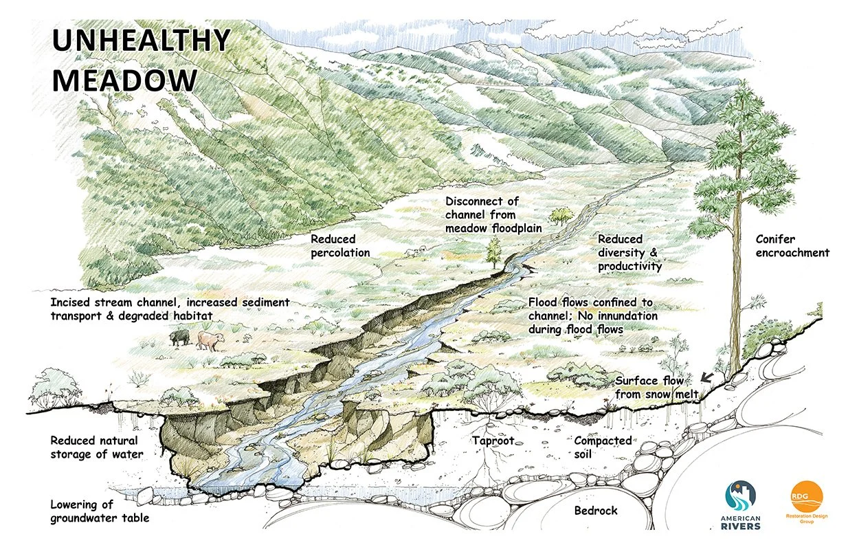
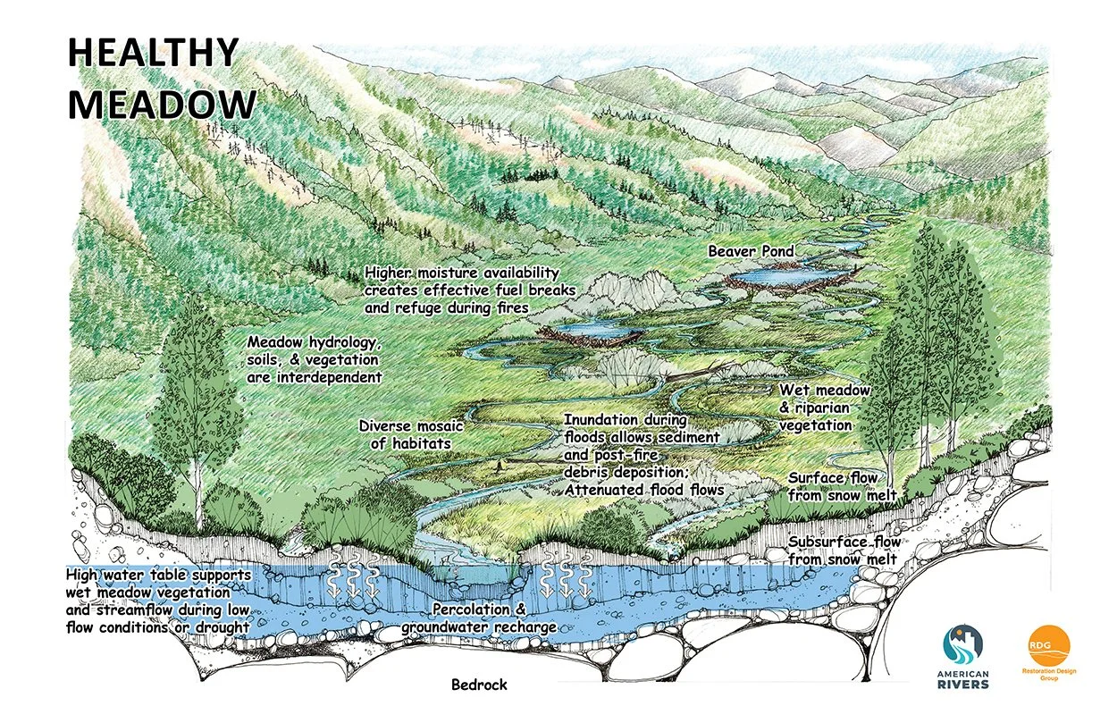
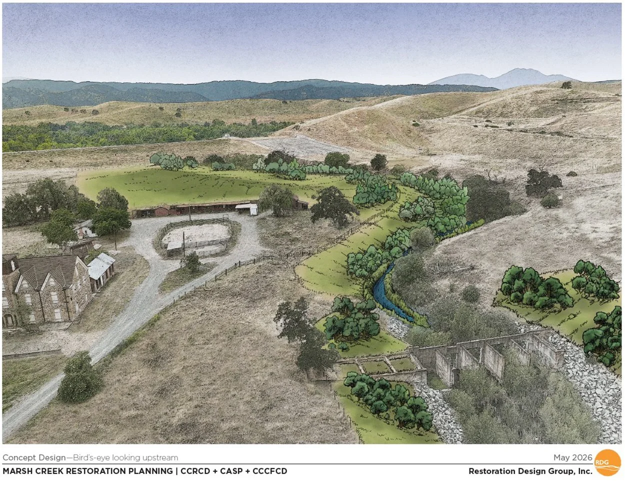
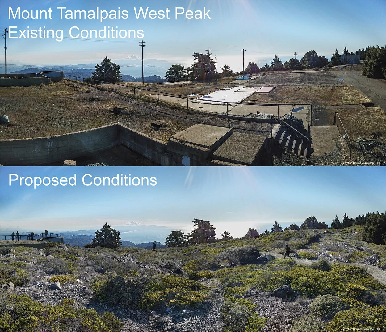
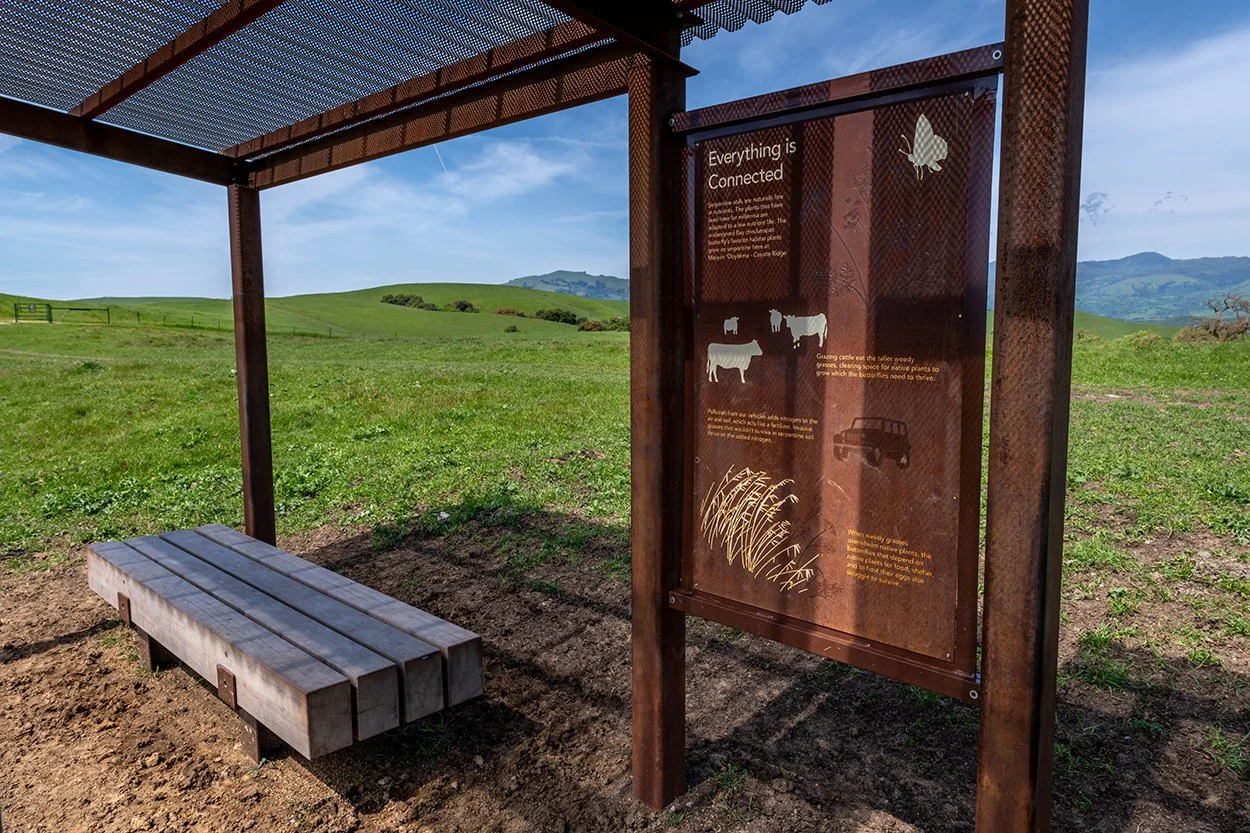
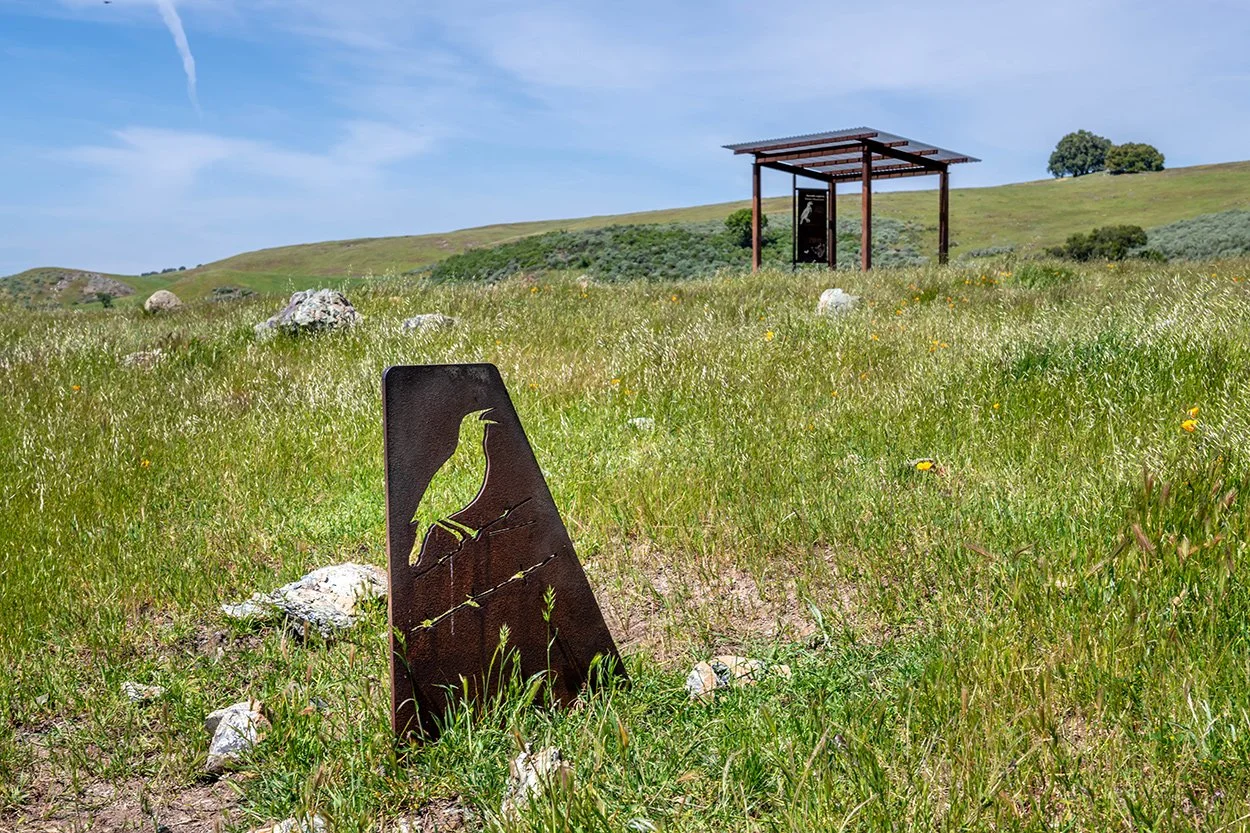
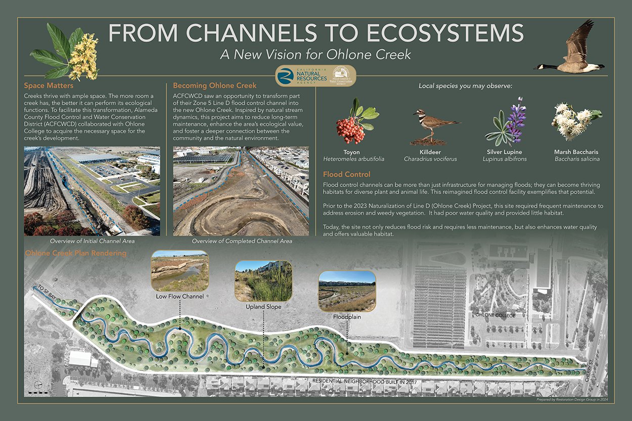
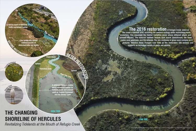
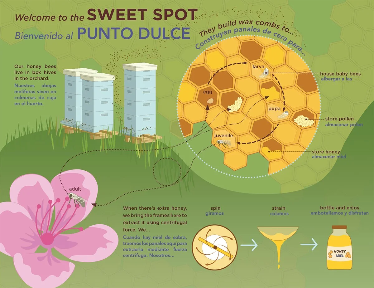
RDG's interpretive design work combines environmental education, graphic communication, and placemaking to help people understand why a place matters. Interpretive panels, trailhead displays, educational graphics, and orientation elements get woven directly into parks, trails, creek restoration projects, and open spaces. Custom illustrations, maps, photographs, and concise narratives turn complex ecological and cultural topics into something visitors can actually connect with.
This work reaches a wide range of audiences, from park visitors and families to school groups and volunteers, while helping public agencies and landowners communicate their stewardship goals and the value of their investment. The result is a public that understands and cares about the landscapes supporting their community.
Interpretive Design
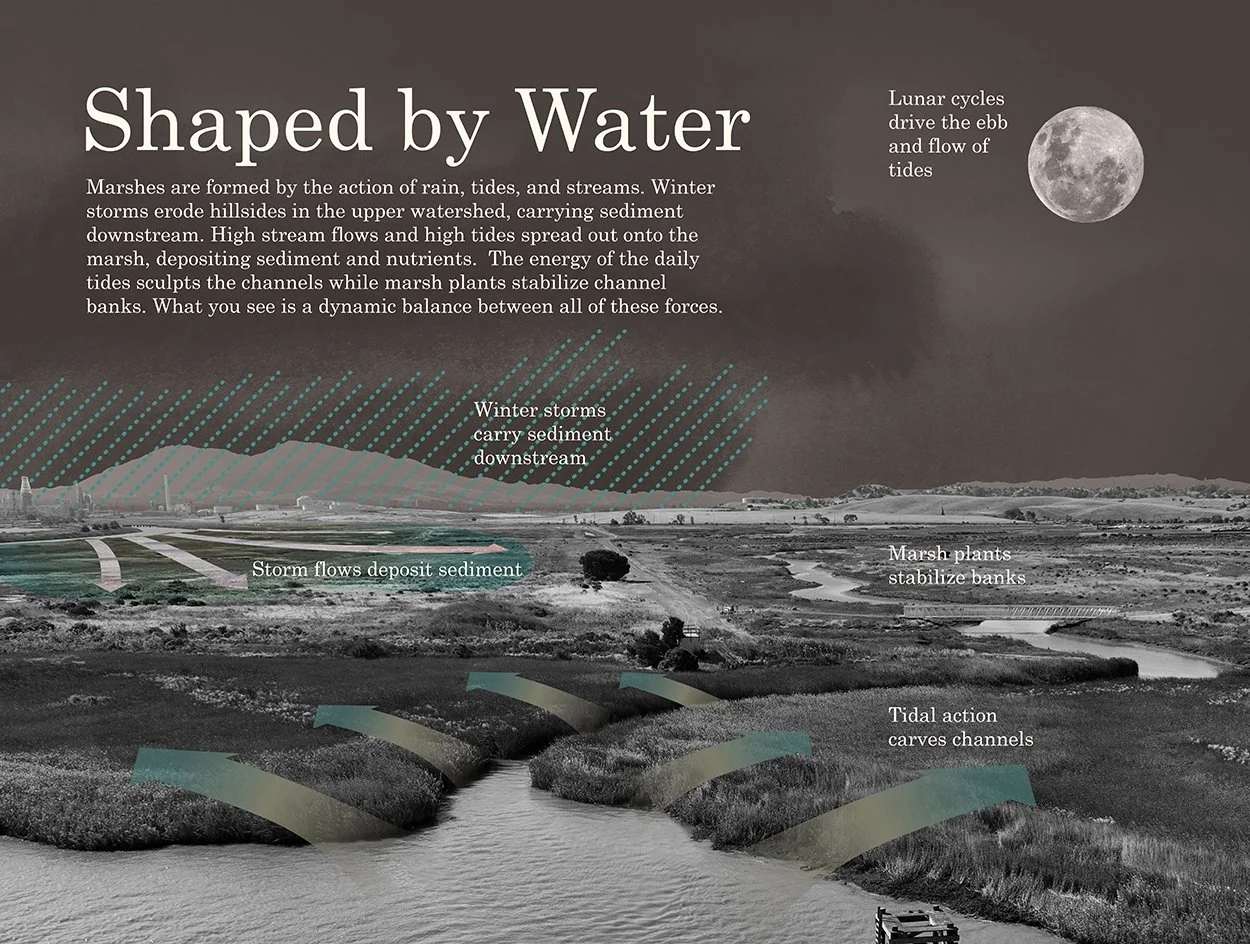
Graphics